
History
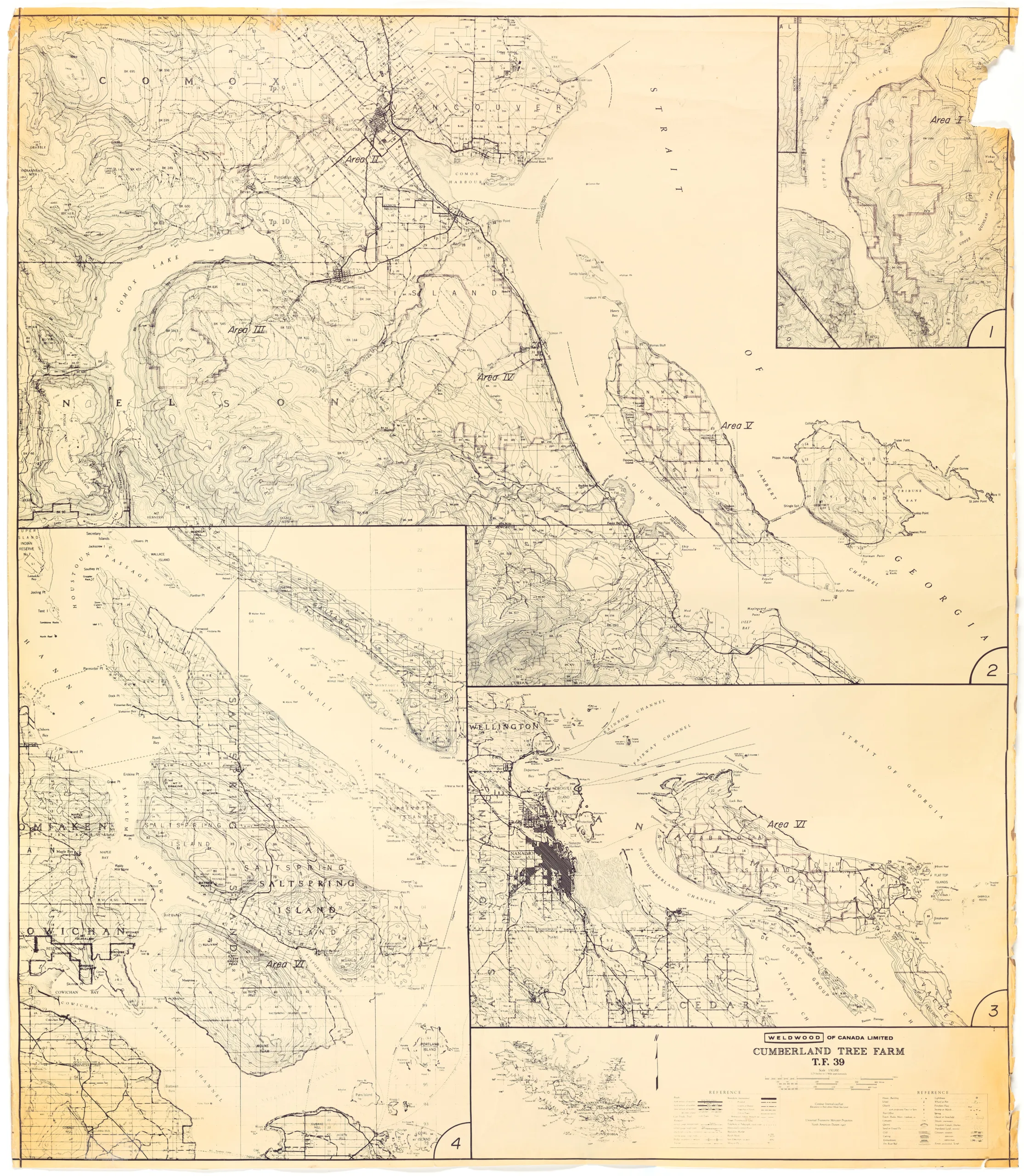
This topographical map shows four inset maps that show the various tree farm areas controlled by Weldwood of Canada. The map is composed of four areas: Upper Campbell Lake area, the Comox Valley, Nanaimo and Gabriola Island, and Cowichan and Salt Spring Island.
As the coal industry declined in the mid-20th century, the Canadian Collieries (Dunsmuir) Ltd. began to shift away from coal extraction and into other natural resources and eventually was re-named to the Canadian Collieries Resources Ltd. to reflect this.
In 1965, the company became a subsidiary of Weldwood of Canada, making Weldwood the owner of the former collieries land in and around Cumberland. Some of this land has been slowly purchased from the company by the Cumberland Forest Society to protect the forests from logging and make them publicly accessible.
Description
1 map: buff and black. Scale = 1 : 50,000 ; 1 1/4 Inches = 1 Mile Approx. Projection = Universal Transverse Mercator.
Item Details
- Materials: paper (fiber product)
- Classification: Category 8: Communication Objects > Documentary Objects > Graphic Documents > cartograph > map
- Accession Number: 2006.005.002
- Author: Weldwood of Canada Ltd.
- Donor: Nikolaisen, Bob
- Donated: 2006-07-20
- Size: 102 x 106 cm
- Credit: Digitized with the assistance of the British Columbia History Digitization Program and the Canadian Heritage Museums Assistance Program. Thank you for your support.


