
History
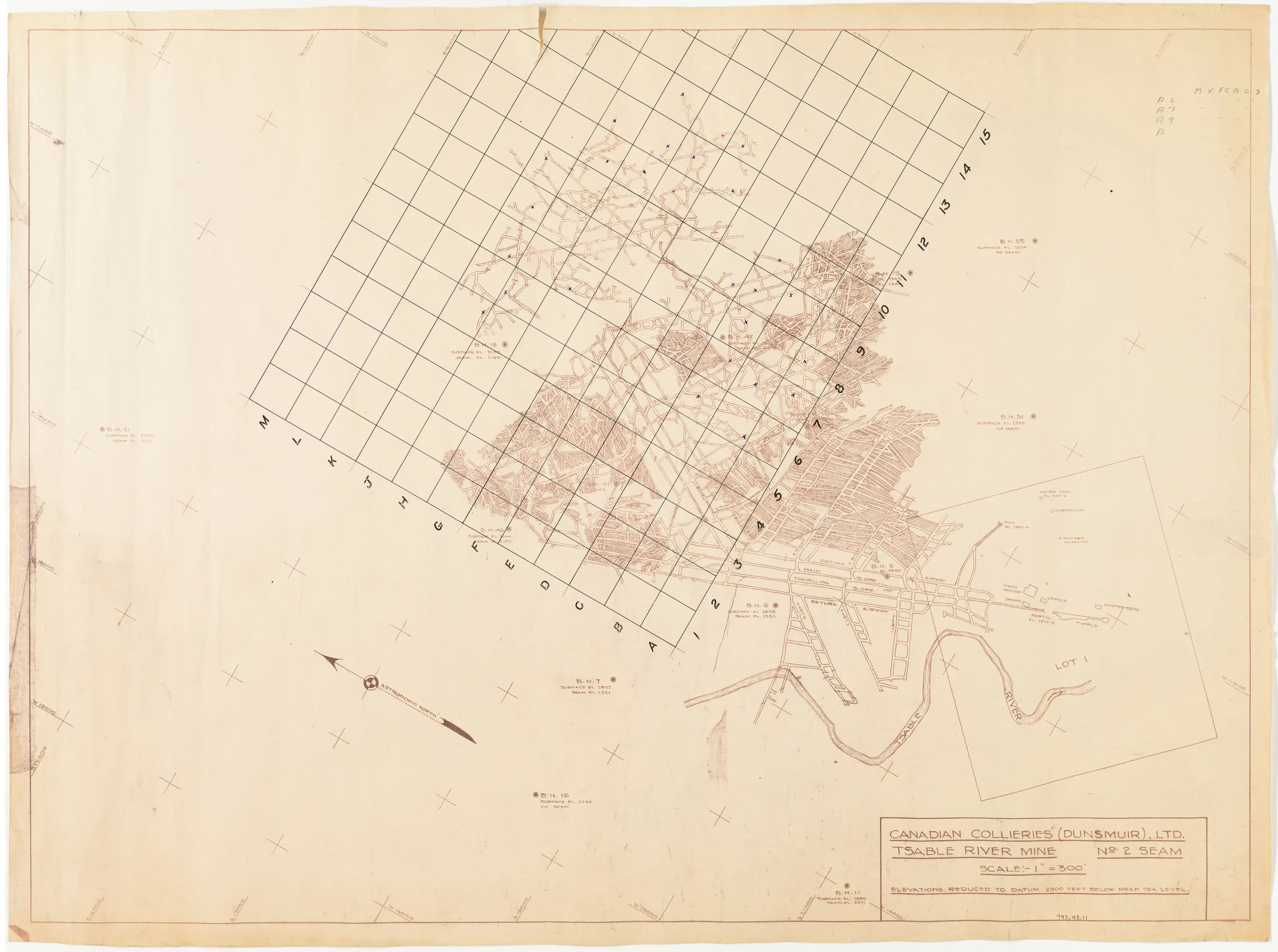
This map shows the No. 2 seam of the Tsable River mine. In addition to the seams and tunnels it also shows the locations of the wash-house, machine shops, office, and other buildings on the surface. There is a grid laid over the underground workings, with letters on the left and numbers on the right. A number of small x's have been made throughout the tunnels.
The Tsable River mine was located south of Cumberland towards Royston, and was open from 1945 to 1966, first under the Canadian Collieries (Dunsmuir) Ltd. until 1960, then under the Comox Mining Company Limited (CMCL) until 1966. It was the last of the Cumberland coal mines to close.
Description
1 map: paper, buff and brown. 1 Inch = 300 Feet Projection = Astronomic North.
Item Details
- Materials: paper (fiber product)
- Classification: Category 8: Communication Objects > Documentary Objects > Graphic Documents > cartograph > map
- Accession Number: 993.048.011
- Author: Canadian Collieries (Dunsmuir) Ltd.
- Donor: Lawrence, Geraldine
- Donated: 1993-12-29
- Size: 86 x 64 cm
- Credit: Digitized with the assistance of the British Columbia History Digitization Program and the Canadian Heritage Museums Assistance Program. Thank you for your support.


