
History
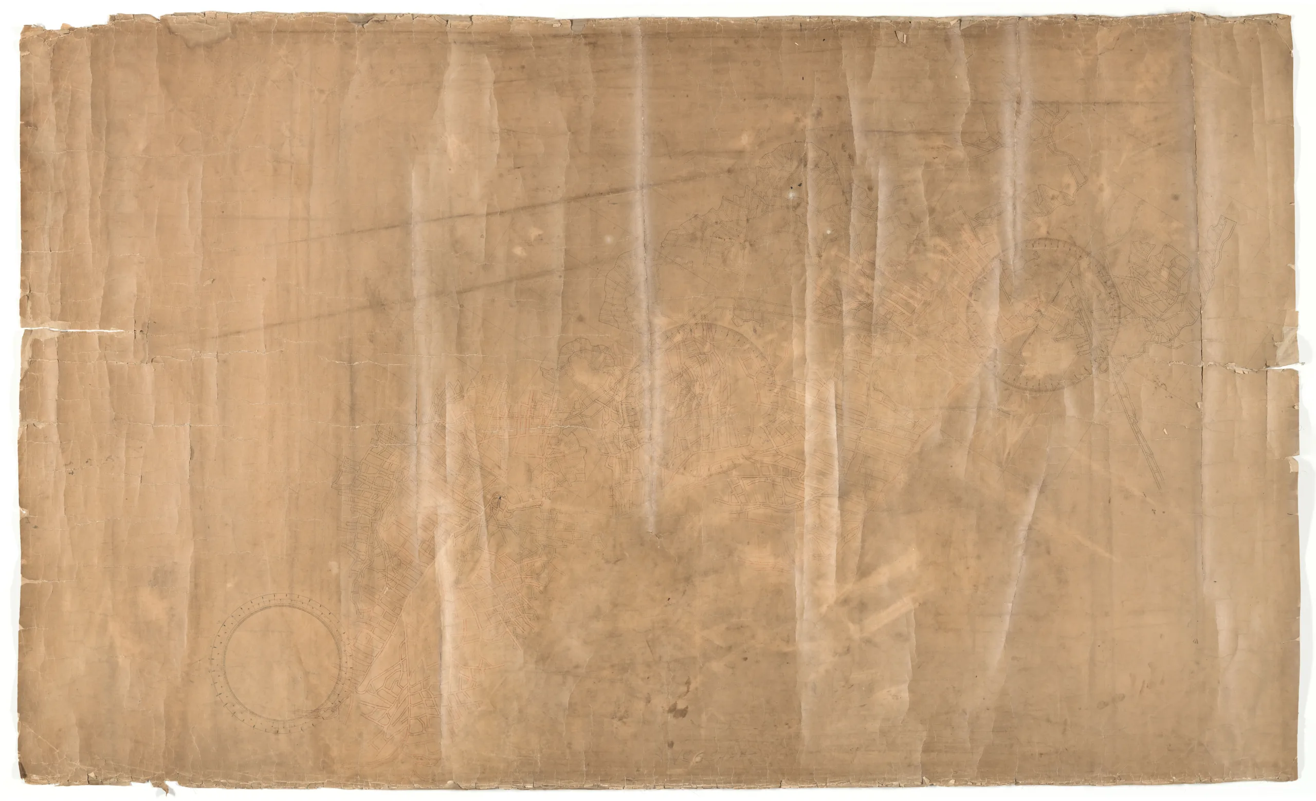
This map is of the layout of No. 1 coal seam and No. 4 coal seam as they relate to Mines No. 5 and No. 6. This map is very faded and is drawn in fine detail. There is no title box on this map, but "No. 6 SHAFT" is written in pencil on one long side of the map and "No. 5 SHAFT" is written on the opposite long side. There are three compass roses laid out on the map. The mine shafts are traced in red and blue ink but there is no reference to say what colour is what coal seam level. "No. 1 & 4 SEAMS / COMOX No 5 & 6 / MINES" is hand written in each corner on the reverse side.
Mine No.5 opened in 1895 and operated until 1947. One of Cumberland’s longest lasting coal mines, No.5 was located at the northern tip of the town and is where the No.5 Japanese town site got its name.
Mine No.6 was comparatively short lived, as it was opened in 1898 and dismantled in 1931. Its tunnels were spread out underneath the town of Cumberland, with the entrance to the mine located at the corner of Dunsmuir Avenue and First Street. No.6 was also the site of Cumberland’s mine disaster–the 1901 explosion that killed 64 workers. The two mines were connected underground in 1908.
Description
1 map: multicoloured.
Item Details
- Materials: linen (material), paper (fiber product)
- Classification: Category 8: Communication Objects > Documentary Objects > Graphic Documents > cartograph > map
- Accession Number: 995.060.001
- Author: Canadian Collieries (Dunsmuir) Ltd.
- Donor: Courtenay & District Museum & Archives
- Donated: 1995-02-16
- Size: 259 x 159 cm
- Credit: Digitized with the assistance of the British Columbia History Digitization Program and the Canadian Heritage Museums Assistance Program. Thank you for your support.


