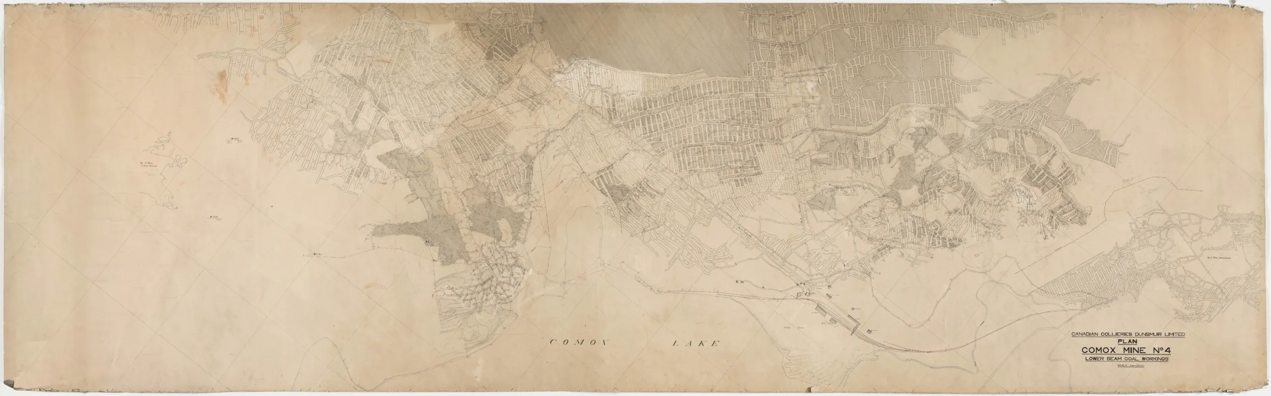
Map, Comox mine No. 4 lower seam coal works
Type: Document
Date: c. 1920-1935
History
This map is of the lower workings of No. 4 mine, with some workings of No. 1 mine on the right side of the map and some eastern workings of No. 7 mine on the left side. There are faint pencil markings throughout. Comox Lake is shown at the bottom of the map, and a few other geographical features are noted such as Coal Creek and an area marked "swamp".
The No. 1 mine was the first of the mines to open in Cumberland, producing its first tons of coal in 1889. No.4 mine followed shortly after, opening in 1891. It is the coal from this No. 4 mine that gives the sand at Comox Lake's Coal Beach its black colour.
Description
1 map: buff and black. 1 Inch = 100 Feet.
Item Details
- Materials: canvas (textile material), paper (fiber product)
- Classification: Category 8: Communication Objects > Documentary Objects > Graphic Documents > cartograph > map
- Accession Number: 2015.109.001
- Author: Canadian Collieries (Dunsmuir) Ltd.
- Size: 446 x 124 cm
- Credit: Digitized with the assistance of the British Columbia History Digitization Program and the Canadian Heritage Museums Assistance Program. Thank you for your support.