
History
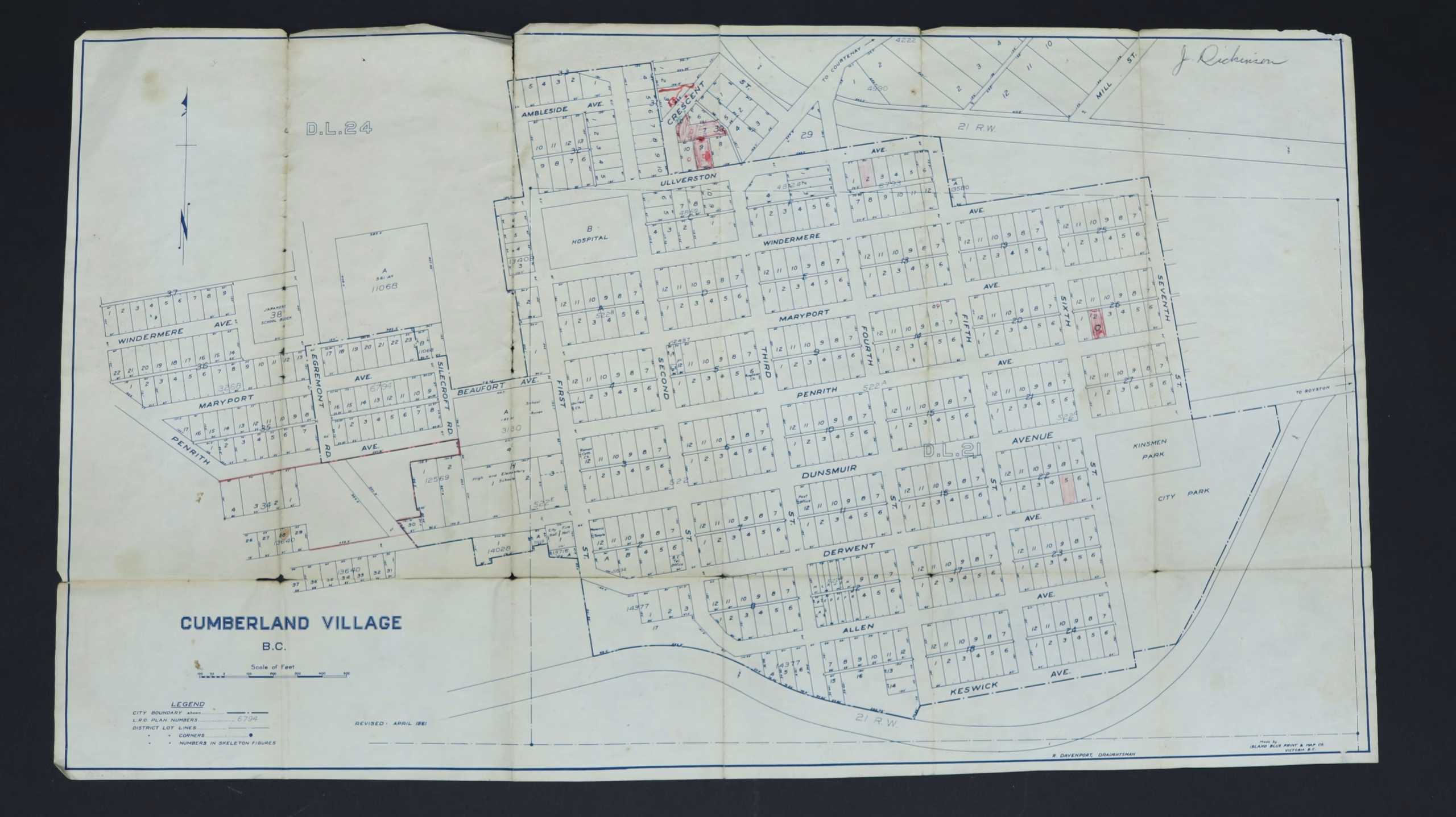
This is a map of Cumberland as it was in the 1960s, covering from Ambleside Avenue down to Keswick Avenue.
Description
1 map : paper, white and blue.
A few of the properties are coloured in.
R. Davenport is listed as the draughtsman and the name J. Robinson appears in handwriting near the top.
Item Details
- Materials: paper (fiber product)
- Classification: Category 8: Communication Objects > Documentary Objects > Graphic Documents > cartograph > map
- Accession Number: 2017.017.001
- Author: Island Blueprint & Map Co., Victoria, B.C.
- Donor: [unknown]
- Donated: 2017
- Size: 34 x 59 cm


