
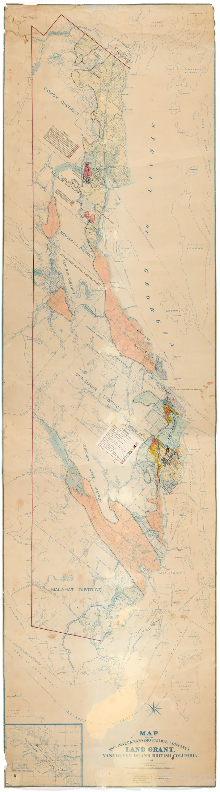
Map of Esquimalt & Nanaimo Railway Co. Land Grant, Vancouver Island, British Columbia, 1918
Type: Document
Date: 1918
History
This map shows land granted to the Esquimalt and Nanaimo Railway Co. (E&N) from Malahat district to Comox district, prior to the 4th land grant. Like the collieries, this company was owned by industrial magnate Robert Dunsmuir. Between the collieries and railroad, Dunsmuir had a sweeping and disproportionate amount of control over a vast amount of the land and natural resources of Vancouver Island.
There are colour coded areas on the map showing the extent of coal claims and workings for various coal companies. There is an inset map of Vancouver Island in the bottom left corner showing the E&N land in context of the whole island.
Description
1 map: multicoloured. 5 inches = 10 mile, 1/2 inch = 80 Chains.
Item Details
- Materials: paper (fiber product)
- Classification: Category 8: Communication Objects > Documentary Objects > Graphic Documents > cartograph > map
- Accession Number: 989.001.002
- Author: Revercomb, C.E. [draughtsman]
- Donor: Wagner, Gordon
- Donated: 1989-02-21
- Size: 223 x 61 cm
- Credit: Digitized with the assistance of the British Columbia History Digitization Program and the Canadian Heritage Museums Assistance Program. Thank you for your support.


