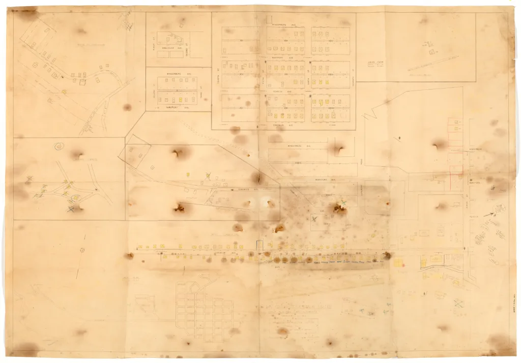
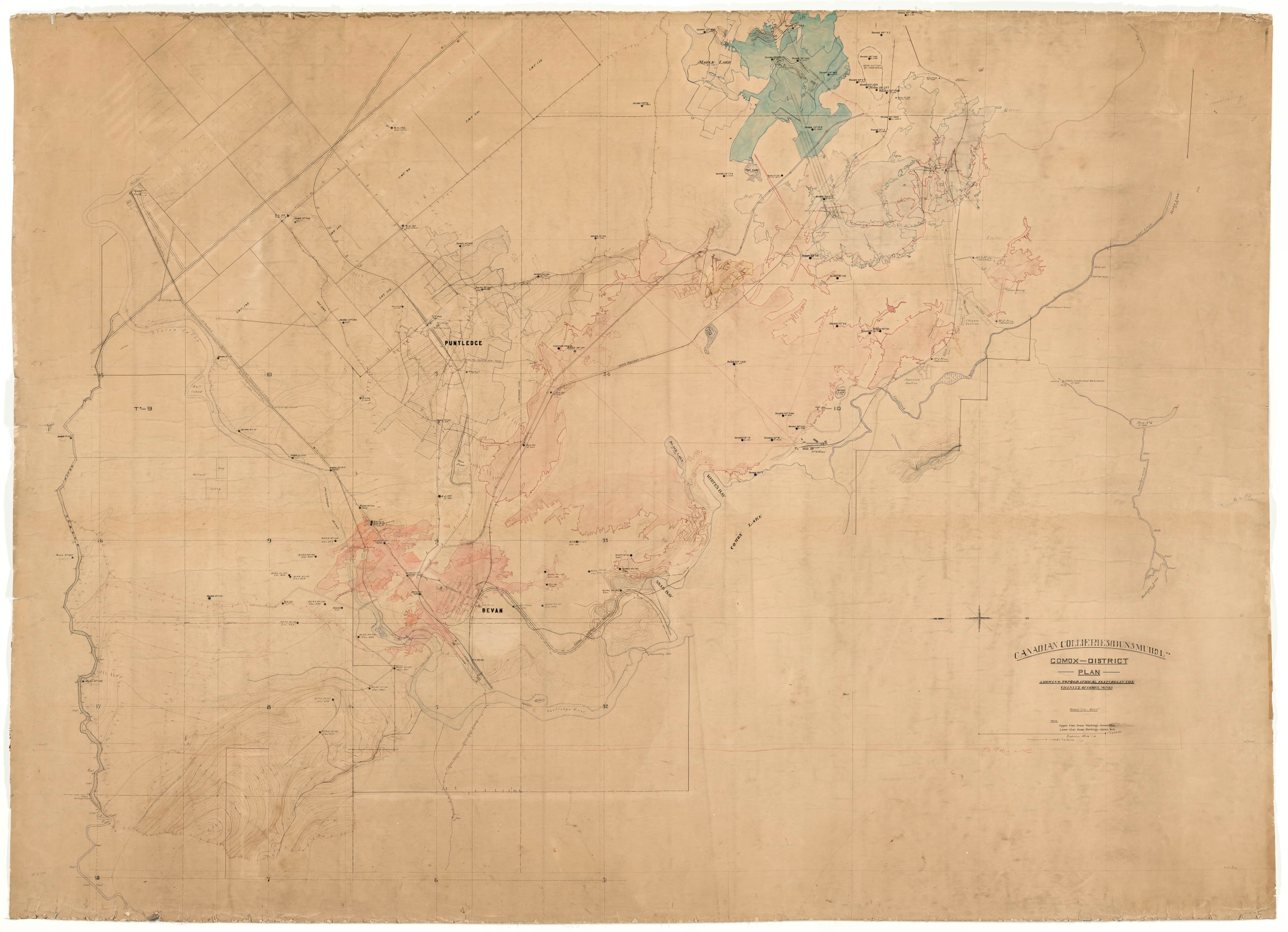
Map showing topographical features in the vicinity of Comox mines
Type: Document
Date: c. 1910-1914
History
This large map shows surface topographical features, such as Comox Lake, Stoten Falls, and Browns River near Bevan and Puntledge. The upper coal seams are coloured blue and the lower seams are coloured red. Buildings such as the Bevan Hotel and Bevan school are identified as well as street names. Mines 1, 2, 3, 4 and 7 are marked on the map, but mines 1 through 3 are marked as abandoned. Additional lots have been penciled in near Puntledge and one street is marked.
Both the Bevan and Puntledge townsites were built to house and workers for the mines north of Cumberland, along the Puntledge River. Bevan was constructed in 1911, to house the workers of No.7 mine. In 1918 coal demand dwindled and No.7 closed in 1921 and many of the Bevan houses were relocated to Cumberland. The Bevan Hotel remained until 1994, although it had been abandoned for decades. Puntledge, the No.8 townsite, began construction in 1912, only for the No.8 mine to suddenly close two years later in 1914. The houses were relocated along with the Bevan houses to Cumberland. No. 8 would later re-open in 1936 and operate until 1953.
Description
1 map: multicoloured. 1 Inch = 400 feet.
Item Details
- Materials: linen (material), paper (fiber product)
- Classification: Category 8: Communication Objects > Documentary Objects > Graphic Documents > cartograph > map
- Accession Number: 981.323.002
- Author: Canadian Collieries (Dunsmuir) Ltd.
- Size: 250 x 182 cm
- Credit: Digitized with the assistance of the British Columbia History Digitization Program and the Canadian Heritage Museums Assistance Program. Thank you for your support.