
History
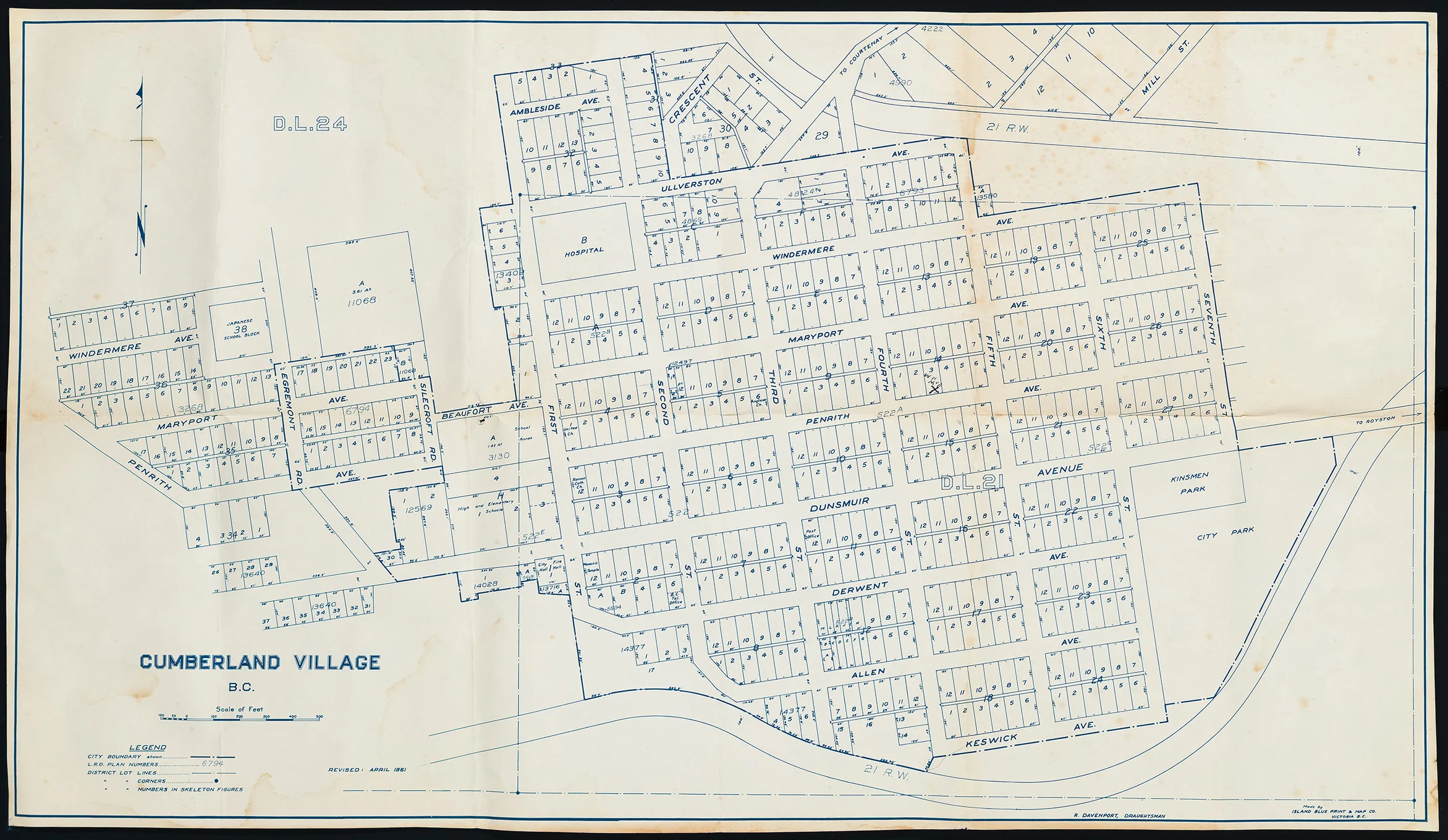
This is a map of the Village of Cumberland subdivisions, including blocks 29 to 38 in Nelson District D.L. 24 and D.L. 21, as they appeared in 1961. It is a revised version of the map produced by the City of Cumberland Engineering Department in 1926. Lots start from Windermere Avenue in the West to Seventh Street in the East, with Mill Street and Ambleside in the North, with Keswick Avenue as the Southern limit. A number of buildings are labelled, such as the Roman Catholic Church, the United Church, and the Cumberland high school and elementary school.
Drafted by R. Davenport and printed by Island Blue Print and Map Co., Victoria B.C.
Description
1 map: paper, white and blue.
Item Details
- Materials: paper (fiber product)
- Classification: Category 8: Communication Objects > Documentary Objects > Graphic Documents > cartograph > map
- Accession Number: 2012.098.001
- Author: Davenport, R.
- Donor: Williams, Art
- Donated: 2012-09-25
- Size: 33 x 58 cm


